Major Pattern Change Brings the End of the Deep Freeze
“Great conditions—but oh so cold.” That was the verdict from skiers and riders who braved the elements this past weekend. You can thank an Arctic airmass that came straight from the North Pole. You can keep your cold Santa!
The good news? We’ve likely passed the coldest stretch of the winter, and the weather pattern across North America is now shifting quickly. Temperatures this week won’t just be bearable but dare I say, comfortable. Tuesday could mark the first above-freezing day in more than three weeks, and there’s a good chance we climb above zero again over the Family Day weekend.
Snowmaking Wraps Up — More Natural Snow on the Way
A warm front will bring about 5 cm of heavier, wetter snow by Tuesday morning. Flurries return Wednesday, and as cooler air settles in behind the system, another 5 cm is likely becoming more powdery late in the day as temperatures drop. That will push the seasonal total to a very respectable 240 cm.
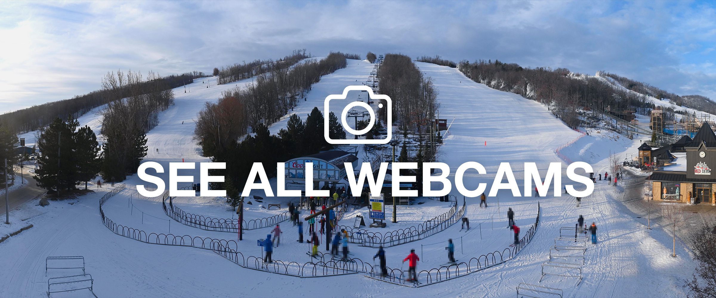
Snowmaking operations have wrapped up for the season, and operations teams are now focused on maintaining snow quality — turning over surfaces and keeping conditions fresh and soft for those perfect turns.
A Promising Family Day Weekend Ahead
Brighter skies are expected later this week, and early signs point to some fantastic weather heading into Family Day Weekend. We’re talking partial sunshine and temperatures just above freezing — a welcome change after the recent cold snap. For mid-February, it doesn’t get much better than this.
Day-to-Day on the Slopes
Tuesday: Early morning snow, then cloudy and mild. High near 0°C.
Wednesday: Flurries (around 5 cm). High near –2°C, falling later in the day. NW winds 20–40 km/h.
Thursday & Friday: Partly sunny with lighter winds and seasonal temperatures. Highs from –6°C Thursday to –2°C Friday.
Saturday & Sunday: Mostly cloudy and mild. Highs near the freezing mark.
Family Day Monday: Watching a potential storm but forecast confidence remains very low.
Early Look at Next Week
Milder weather looks increasingly likely as the jet stream shifts north. A more active west-to-east flow could bring a series of systems — raising the risk of rain at times but also the potential for additional heavy snow. Stay tuned.
Get out there — and most importantly, have fun.
Senior Meteorologist,
Anthony Farnell