
What is lake-effect, and will the warm Great Lakes help or hurt ski season?
As chilly air moves across the warmer waters of the Great Lakes, it picks up heat and moisture, forming clouds and then snow. When the winds align, that snow can turn heavy, burying one community while sparing the next.
Lake-effect snow is not easy to predict. Meteorologists use a guideline called the “13°C Rule” to determine if and when it will form. When the difference between the water temperature and the air above at 1,500 metres reaches 13°C, a convective switch turns on. That’s the baseline, and generally, the bigger the difference, the heavier the snow. Wind speed and direction then determine where the snow streamers go once they form. Open water can provide an almost endless supply of moisture, right up until the lakes freeze over. Then the tap shuts off!
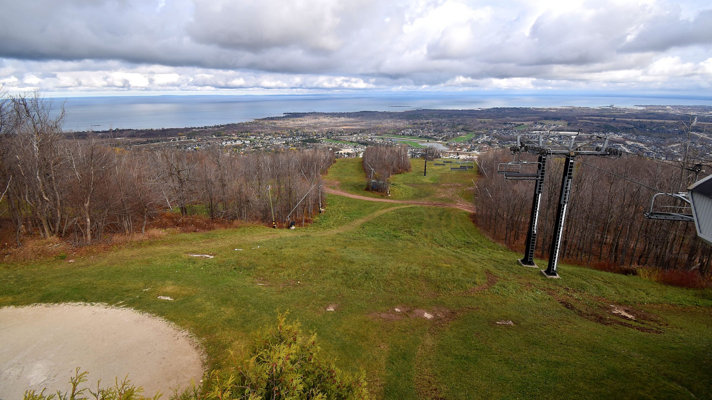
Blue Mountain Resort is uniquely located along the Niagara Escarpment, butting up against Georgian Bay. Northwest winds often bring the heaviest squalls to the mountain, but when the winds turn west and the air is cold enough, snow arrives from nearby Lake Huron.
Lake-effect snow is a BIG DEAL for Ontario ski country. On average, anywhere from 25 to 50 percent of a season’s snow can be directly or indirectly linked to it. The lakes are warmer this year than they have been in years because of the mild fall, which could be money in the bank when the cold air finally arrives. The big question is how much Arctic air we’ll see in a Super El Niño winter. My hunch is there will be plenty, starting in December.
Next week, I’ll dive deeper into snowmaking: what the ideal weather looks like and when we might see the snow guns blasting.
Anthony Farnell
Senior Meteorologist